Search and filter
photo drone photo new spring summer autumn winter
walking path cycle path
Click the spot on the map.

 Olst in beeld
52.3378° N · 6.1108° E
photo drone photo new spring summer autumn winter
walking path cycle path
Click the spot on the map.
My favourite photos of Olst. Click a photo to see where it was taken.
Your own list of photos. It is kept only in this browser; use Share to send it to someone.
3 photos
Walk past the places in the photos. Distances are as the crow flies; by road it is a little further.
There are no walking routes yet.
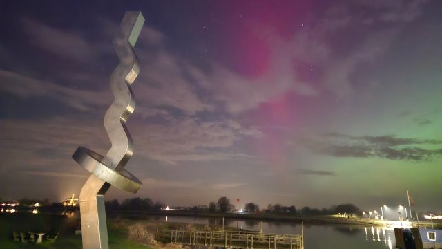
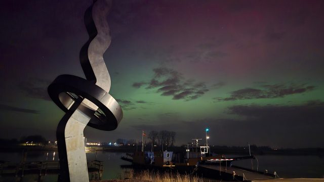
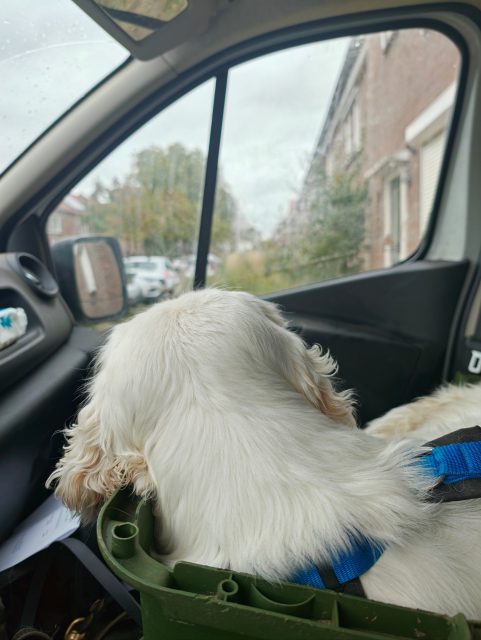
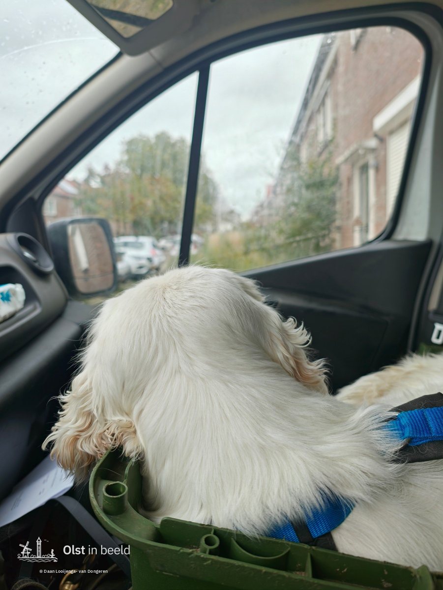
Photos of Olst, a village on the river IJssel in the east of the Netherlands, taken on walks through the village and along the river. Every photo is pinned to the map where it was taken.
All photos are protected by copyright. Open the photo you want and choose "Request a print or use", and I will get back to you.
All photos on this site were taken by Daan Looijenga and are protected by copyright. © 2026 Daan Looijenga. All rights reserved.
This also applies if you credit the source, and if you use a photo for non-commercial purposes.
That is often possible. Open the photo and choose Request a print or use. Tell me what you would like to use it for, and I will get back to you.
Please let me know with . Thank you!
Map data © OpenStreetMap contributors, OpenMapTiles and OpenFreeMap. Neighbourhood names: Statistics Netherlands (CBS), CC-BY 4.0.
Photos on this site are protected by copyright.